
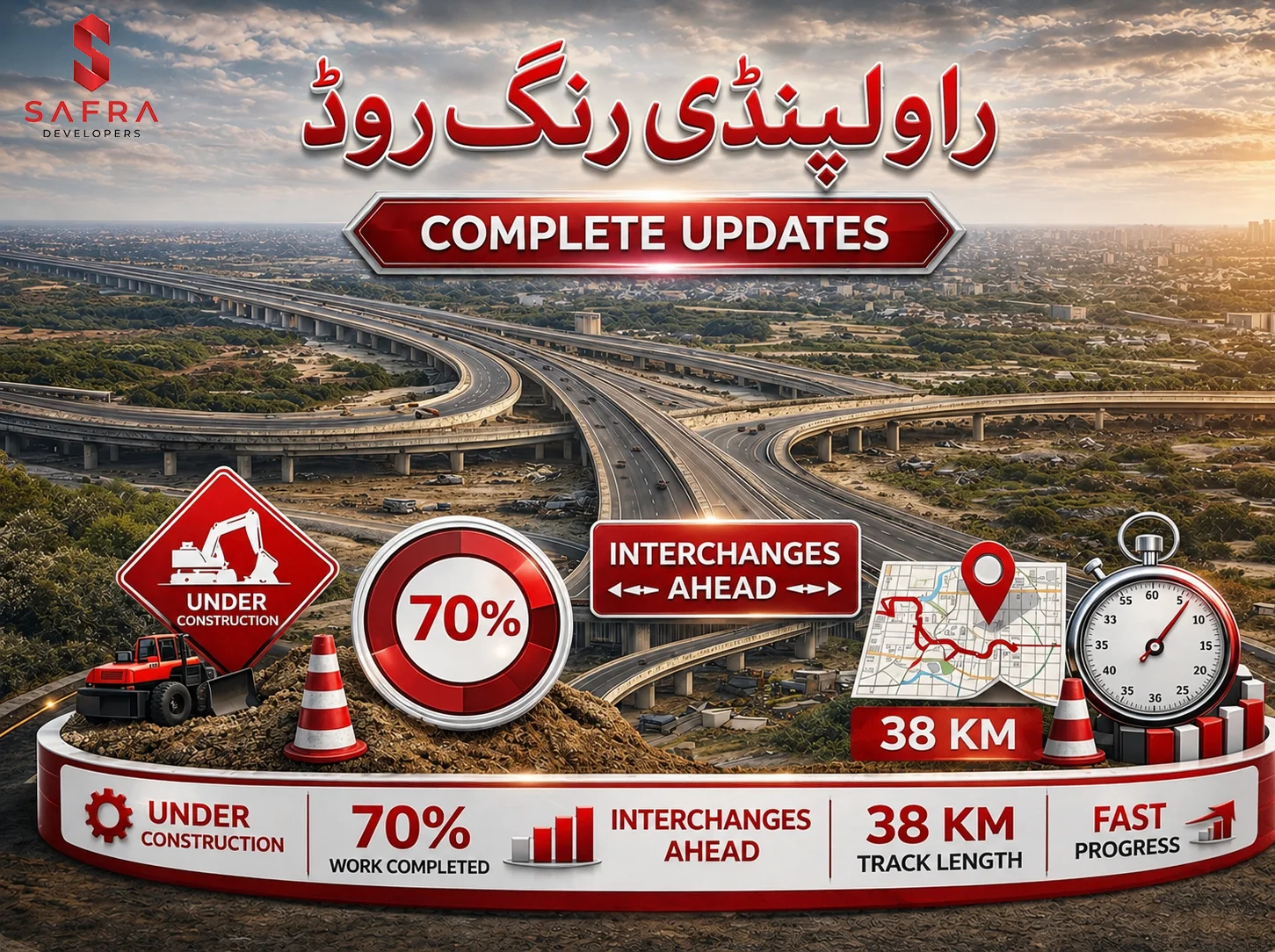
Rawalpindi Ring Road was launched in 2021 by the government to upgrade the city's infrastructure. The Rawalpindi Ring Road connects the G.T. Road with the Islamabad- Lahore (M-2) Motorway, with multiple roads connecting in between. The project is near completion with 80% work done and is expected to be completed in April-May 2026.
The complete project timeline is given as follows
| Development | Timeline |
|---|---|
| Project started | 2021-2022 |
| Budget approved by ECNEC | 2021 |
| Budget revised by ECNEC | 2023 |
| Initial Deadline | Dec 2025 |
| Revised Deadline | April 2026 |
| Inauguration | May 2026 |
Functions of Rawalpindi Ring Road
The main functions RRR provides include
- Managing city traffic by shifting the flow from heavy traffic areas
- Integrating CPEC routes to the city road networks
- Developing suburban areas by providing access roads
- Expanding city infrastructure
- Boosting economic growth by promoting commercial and industrial activities through effective transportation
Developers of Rawalpindi Ring Road
Rawalpindi Ring Road is a massive infrastructure project aimed at revolutionizing city management and efficiency. Many institutions are participating in converting the plan from paper to reality. Some of them are listed below:
- The entire project is monitored and managed by the Rawalpindi Development Authority (RDA)
- The plan of the RRR was approved by the Punjab Planning and Development Wing (PPDW)
- The feasibility study was conducted by NESPAK.
- Rawalpindi Ring Road was designed by a Turkish company, Botek JV.
- Infrastructure development is carried out by the National Highway Authority (NHA) and Frontier Works Organization (FWO).
Features of Rawalpindi Ring Road
Rawalpindi Ring Road is a major project with large-scale planning, infrastructure development, and detailed plan implementation. RRR is a wide 40 Km route with multiple overpasses and underpasses, several interchanges, and service routes that provide an integrated commuting experience. The features of the project are mentioned below
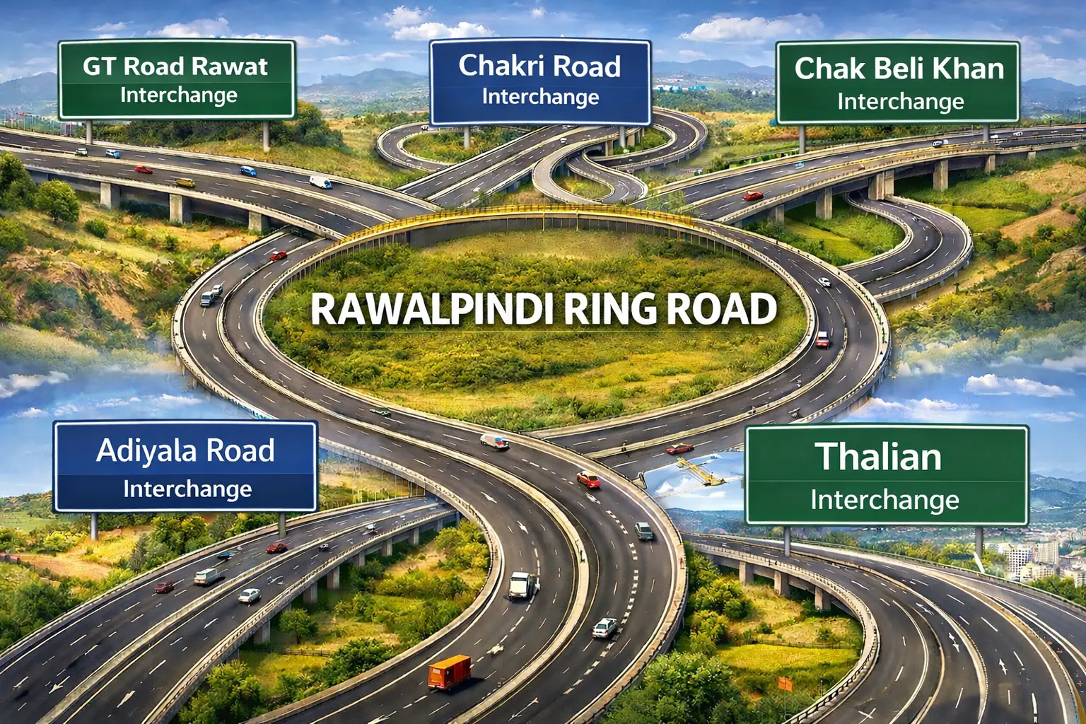
Main Interchanges of Rawalpindi Ring Road
Rawalpindi Ring Road connects 5 interchanges across its path through Rawalpindi. These interchanges include:
- Banth Interchange
- Chakbeli Interchange
- Adayal Interchange
- Chakri Interchange
- Thalian Interchange
Impact of Rawalpindi Ring Road on Real Estate
Historically, ancient cities and civilizations have developed and expanded around commute routes. Rawalpindi Ring Road is being developed to support city expansion and daily commute needs. The heavy pressure from daily transportation in city centers is shifted to the outer city regions with improved connectivity to the suburbs. This has a certain impact on the property market as it can enhance property value, reduce travel time, and increase economic activity.
- When roads reach out to the ends of the city, investors look at it as an opportunity for investment to start new projects since they can be connected to city centers.
- The land value in suburban areas can experience a rise due to connectivity.
- New housing societies can be developed to accommodate the growing housing demands of the city.
- New industrial and commercial setups can be established due to reduced transportation costs, time, and effectiveness, which can boost profits.
Housing Societies Benefiting From Rawalpindi Ring Road
- Blue World City
The Blue World City is located near Chakri Interchange and along the CPEC route. The Rawalpindi Ring Road connects the twin cities to the CPEC routes and passes through the Chakri Interchange. This allows Blue World City to have greater connectivity with other city areas, thereby increasing property values and investment potential.
- Faisal Town 2
Faisla Town 2 enjoys the maximum advantage of this project. Any housing society’s value rests in its connection to the main city. In this aspect, of the 5 main interchanges in the path of Rawalpindi Ring Road, 2 lie close to Faisal Town 2, namely: Thalian Interchange and Chakri Interchange. This increases the attractiveness of the society.
- Capital Smart City
Capital Smart City will also have its connectivity enhanced since it lies across Chakri and Thalian Interchanges. It has its own Smart City interchange, which will connect to RRR. This will reduce travel time and cost, appealing to many investors and homebuyers.
- DHA Phase 3
The Rawalpindi Ring Road connects G.T. Road with the M2 motorway. DHA Phases 3 lies along the G.T. road near Rawat, which is along the RRR path. Therefore, DHA is another key beneficiary of RRR.
- DHA Phase 4 River View South
DHA Phase 4 RVS lies along Adiyala road and will be well-connected to Rawalpindi Ring Road through Adiyala Interchange.
- Saffron City
Saffron City Islamabad is located near Rawat. Rawat mostly hosts commercial and industrial activities, and so Rawat being connected to RRR increases consumer access, ultimately leading to land appreciation in Saffron City.
- Rudn Enclave
Rudn Enclave, being located on Adiyala road, can have increased connectivity through Adiayal Interchange, which is a part of RRR.
| Society | Nearest RRR Interchange |
|---|---|
| Blue World City | Chakri Interchange |
| Faisal Town | Thalian Interchange and Chakri Interchange |
| Capital Smart City | Thalian Interchange and Chakri Interchange |
| DHA Phases 3 and 4 | Rawat Interchange |
| DHA River View South | Adiyala Interchange |
| Saffron City | Rawat Interchange |
| Rudn Enclave | Adiyala Interchange |
Rawalpindi Ring Road, once completed, can transform the look of Rawalpindi with smoother traffic in the city centers and controlled city expansion, providing value to suburban areas. In doing so, this project can enhance the investment potential of many housing societies outside the main city by connecting them to the center, all with reduced travel time and cost.